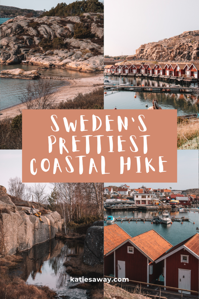
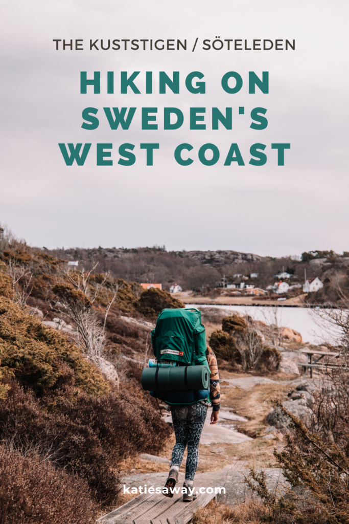
The Kuststigen is one of the most beautiful hiking trails just north of Gothenburg. Winding around the West Swedish coastline on the island of Sotenäs is Etapp 6 and 7. This route takes you from Väjern to Tullboden and then on to Kungshamn through some of the most picturesque small fishing villages and natural West Coast forest land. These sections are also a part of the Soteleden and are more likely referred to as Soteleden 6 and 7. The hike itself takes around 12 – 14 hours and can be done over two days! Whether you are wanting to do some wilderness camping or hike between hotels, this section of the Kuststigen is the perfect weekend adventure close to Gothenburg!
How to get to the Kuststigen on Sotenäs
This sections of the Kustigen on Sotenäs is made up of two hiking routes, Etapp 6 and 7. 6 begins in the fishing town of Väjern and ends is Tallboden, while 7 begins in Tullboden and ends in the harbour of Kungshamn. Kungshamn and Väjern are only a 8 minute bus ride, or a 20 minute walk apart so this section of the trail is almost a loop. The best way to get to the trail head is to either drive to Väjern and park in the free car park there, or take the bus to Kungshamn and either do the trail backwards, or walk to Väjern and start from there.
If you are travelling from Gothenburg, the best way to access the trail is to take the bus from Gothenburg Central to Torp Terminalen. From here you can catch a bus to Smögen. Kungshamn is the second to last stop. You can also take the train to Uddevalla Centrum and catch the same bus to Smögen from here. The bus route takes 2.5 hours and the train takes 3. The best way to check the routes is on the Vasttraffik website.
The Hiking Route
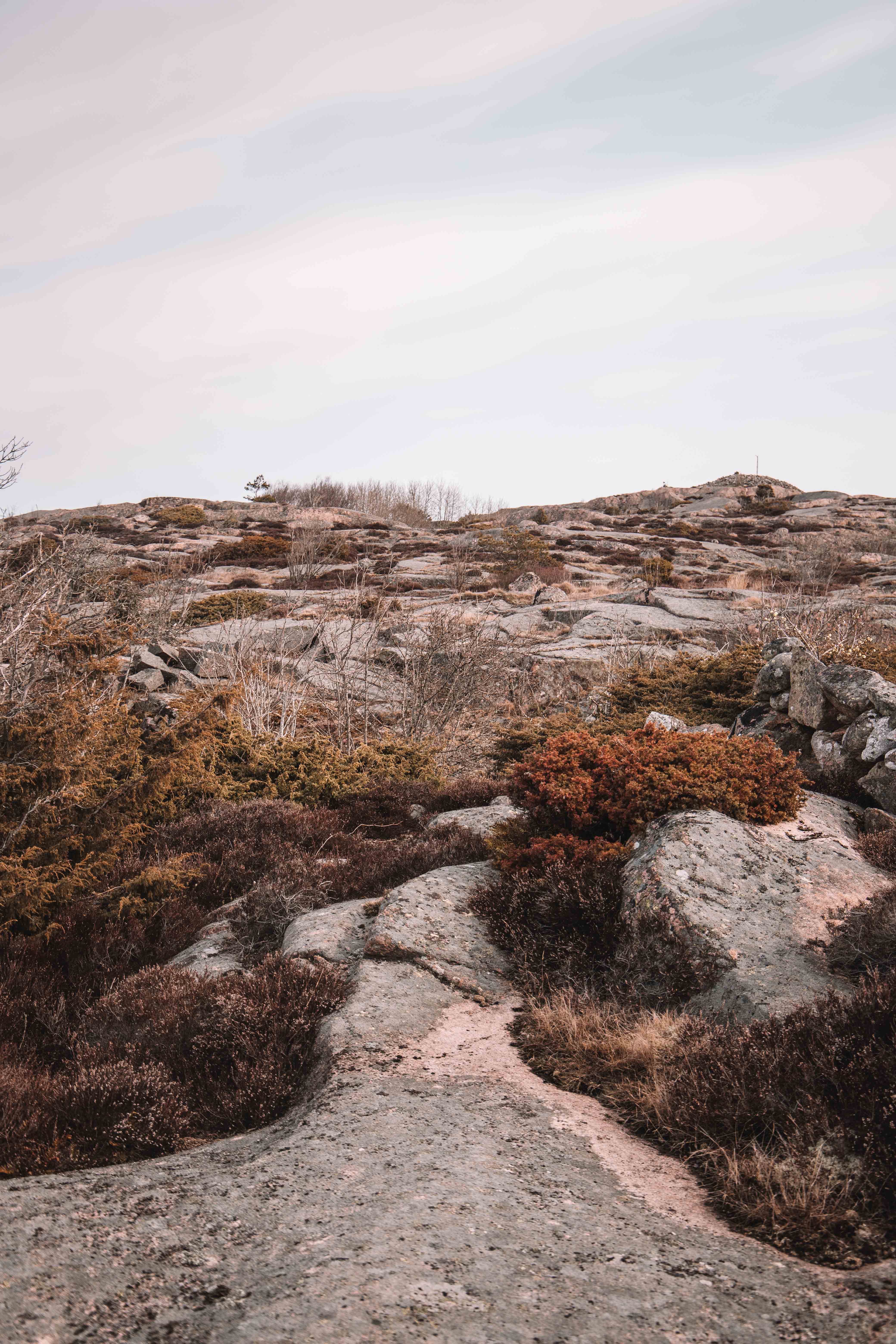
In total these two sections of the hike take around 12 – 14 hours to complete. If you are looking for a longer hike you can always take the ferry from Tullboden across to Malmön and complete that section of the Kuststigen before continuing on to Etapp 7. These trails wind around some of the most beautiful beaches on the coastline, through vibrant flowery forests and through old stone mines. It is a really unique and interesting landscape. The hiking path can be easily found following the blue signs signaling you are on the Soteleden.
Etapp 6
Etapp 6 of the Kuststigen begins in the town of Väjern. If you are arriving by car, the best place to park is in the carpark / football field on Sandervägen. This is just 100m from the trail head. The first section of the hike heads inland towards the big canal. This is not the most interesting part of the hike as you pass over many old stone quarrying pits and through forestland.
When you arrive at the canal, the hike then circles around the edge of the water towards the town of Örn. This section of the Kustigen is part of both sections 6 and 7 so you will do this on both days of the hike. It begins in a small fishing village and takes you through a beautiful flowery meadow.

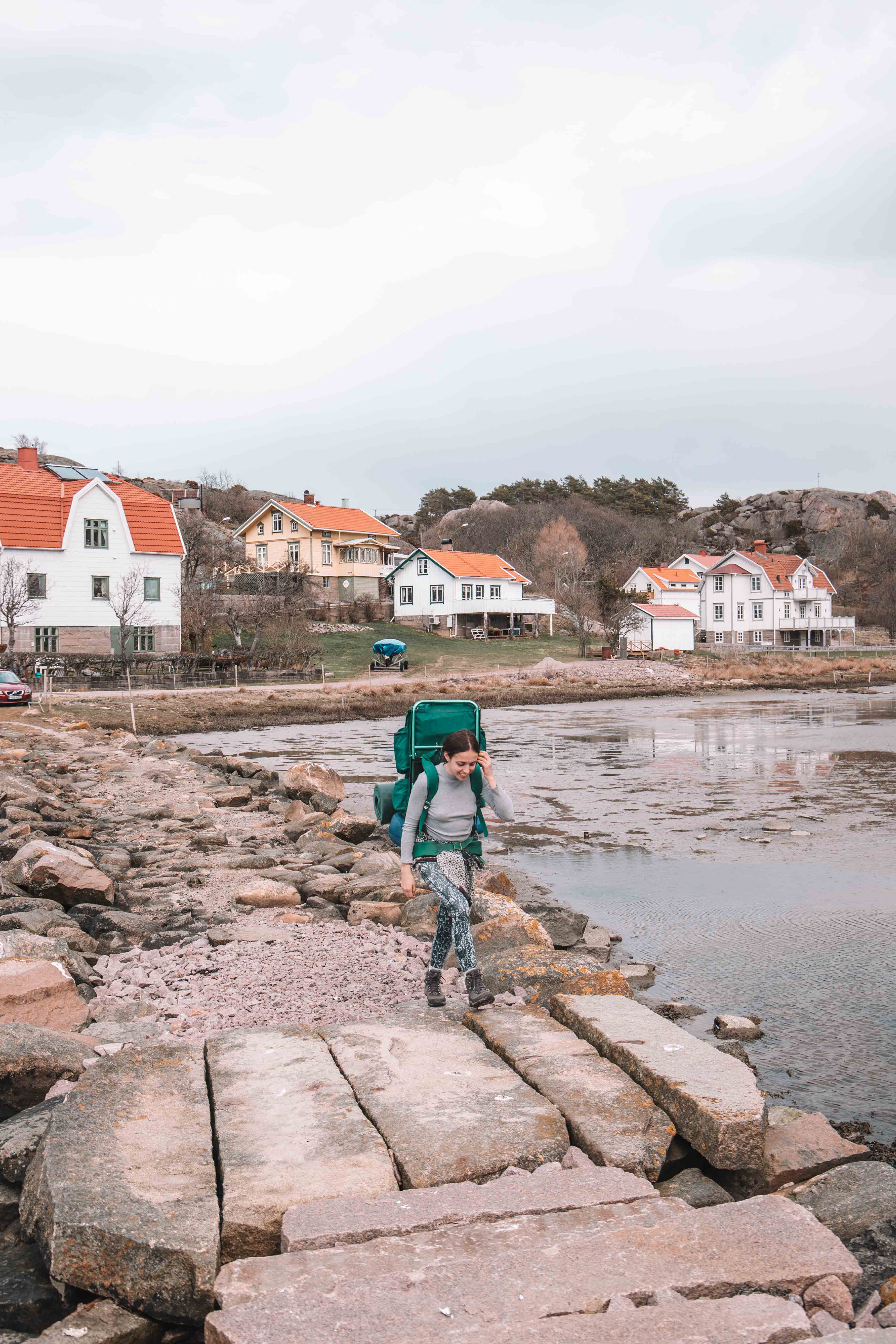
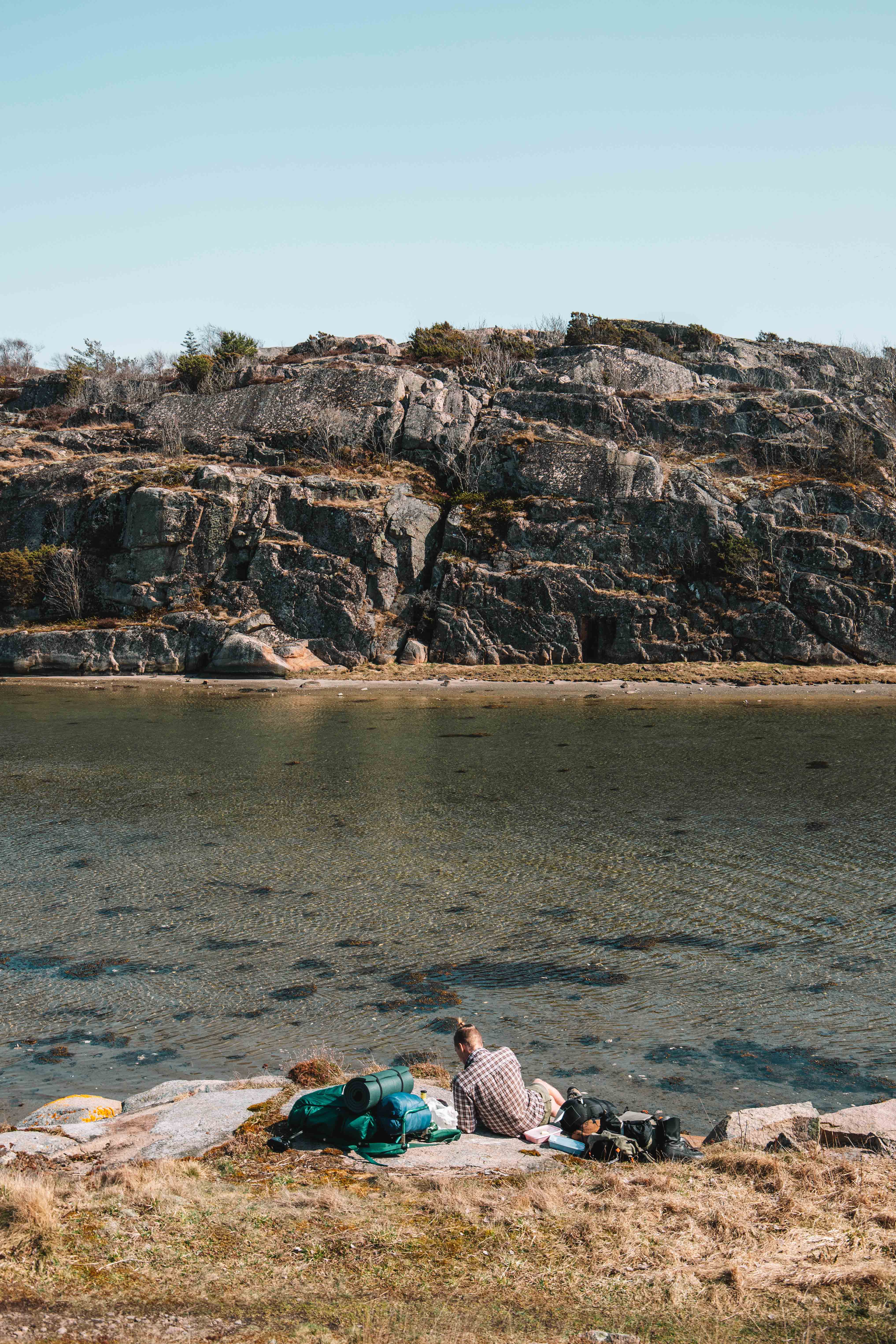
At Örn the trails split again and you head towards a beautiful nature reserve. This is where we camped and I think it is one of the best spots for camping on Sotenäs. We found a camping spot just 50m off of the trail surrounded by beautiful trees and right by an old quarrying pit. It was a really beautiful spot to spend the night. Make sure you look out for all the bird houses hiding in the trees along the way!
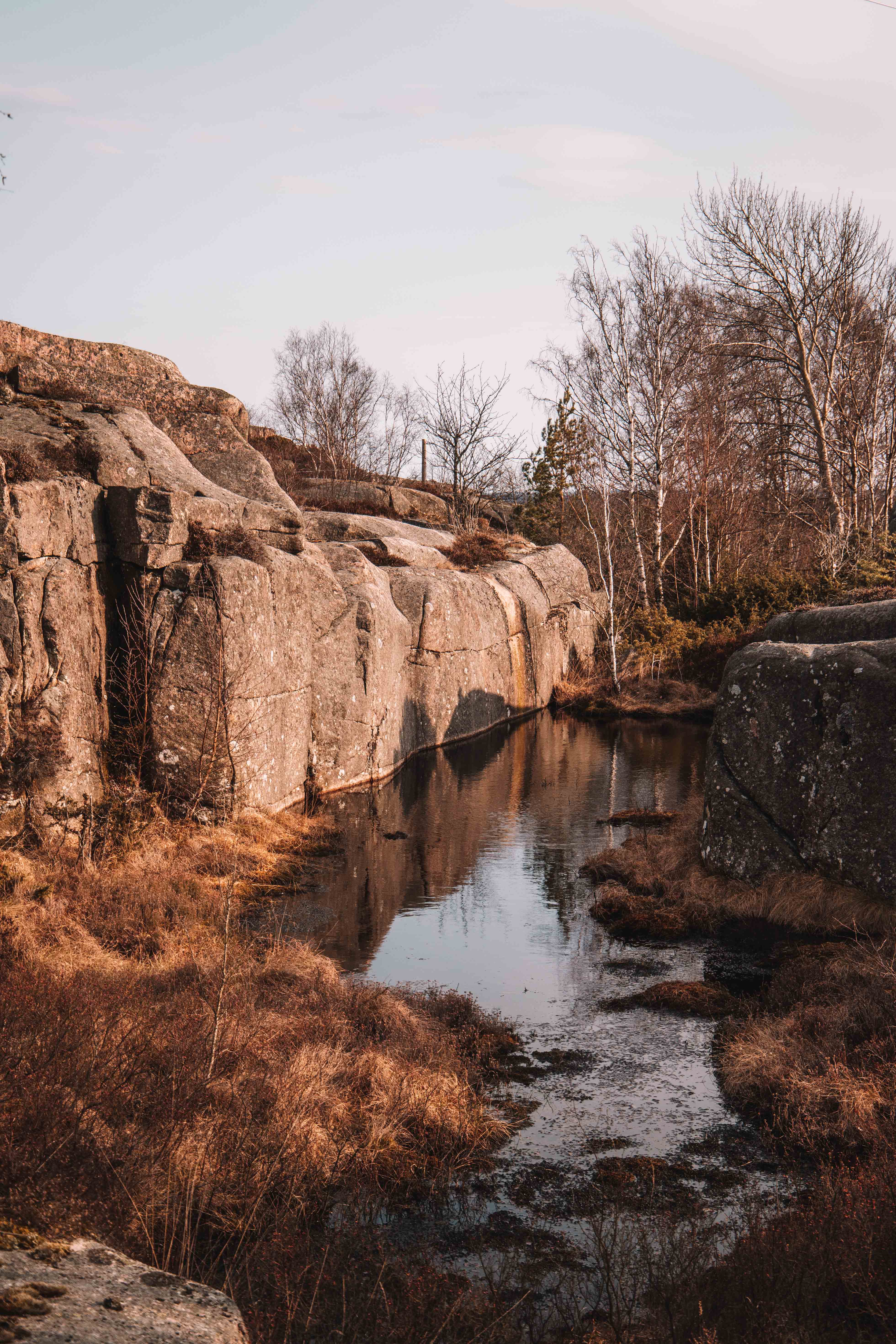
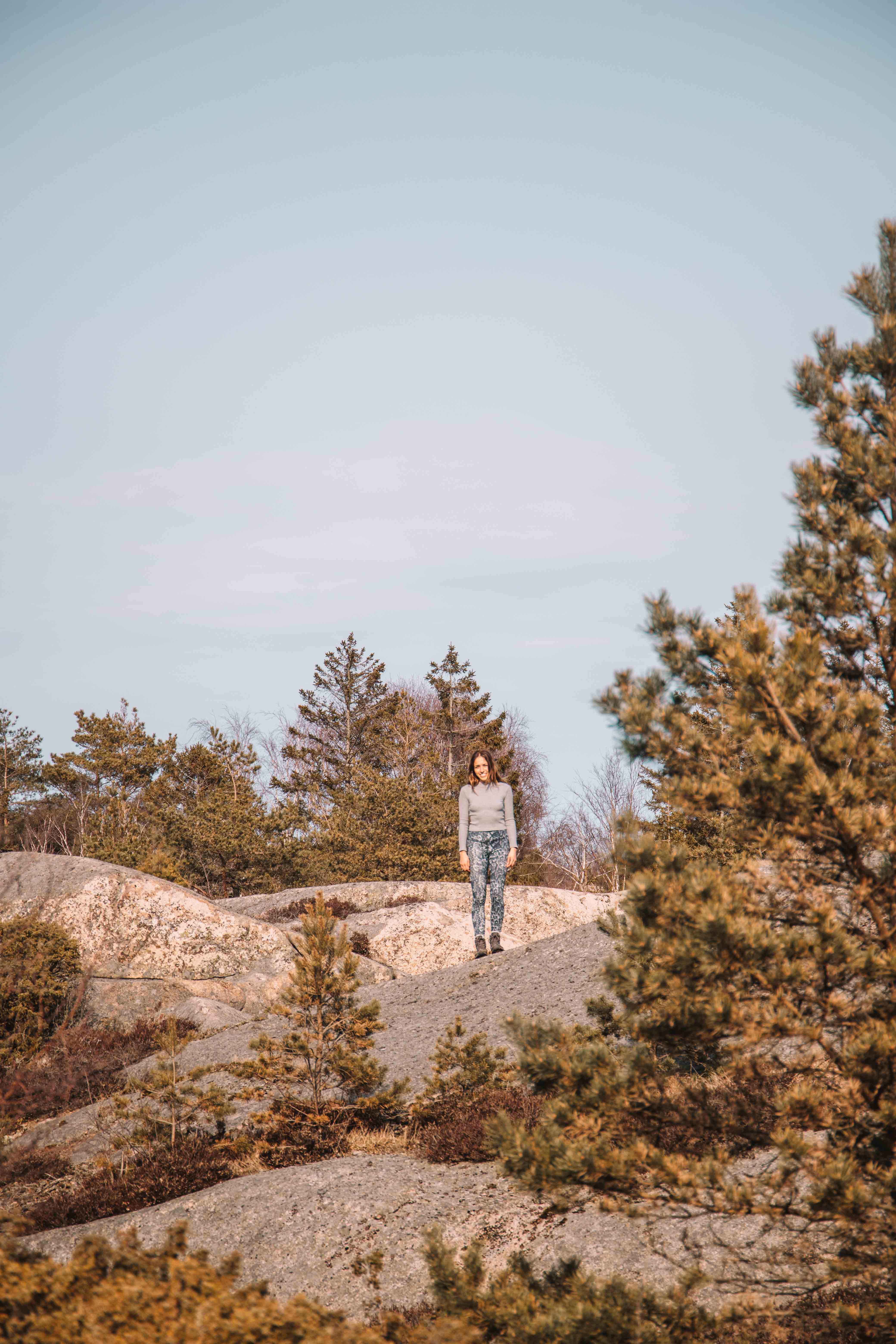
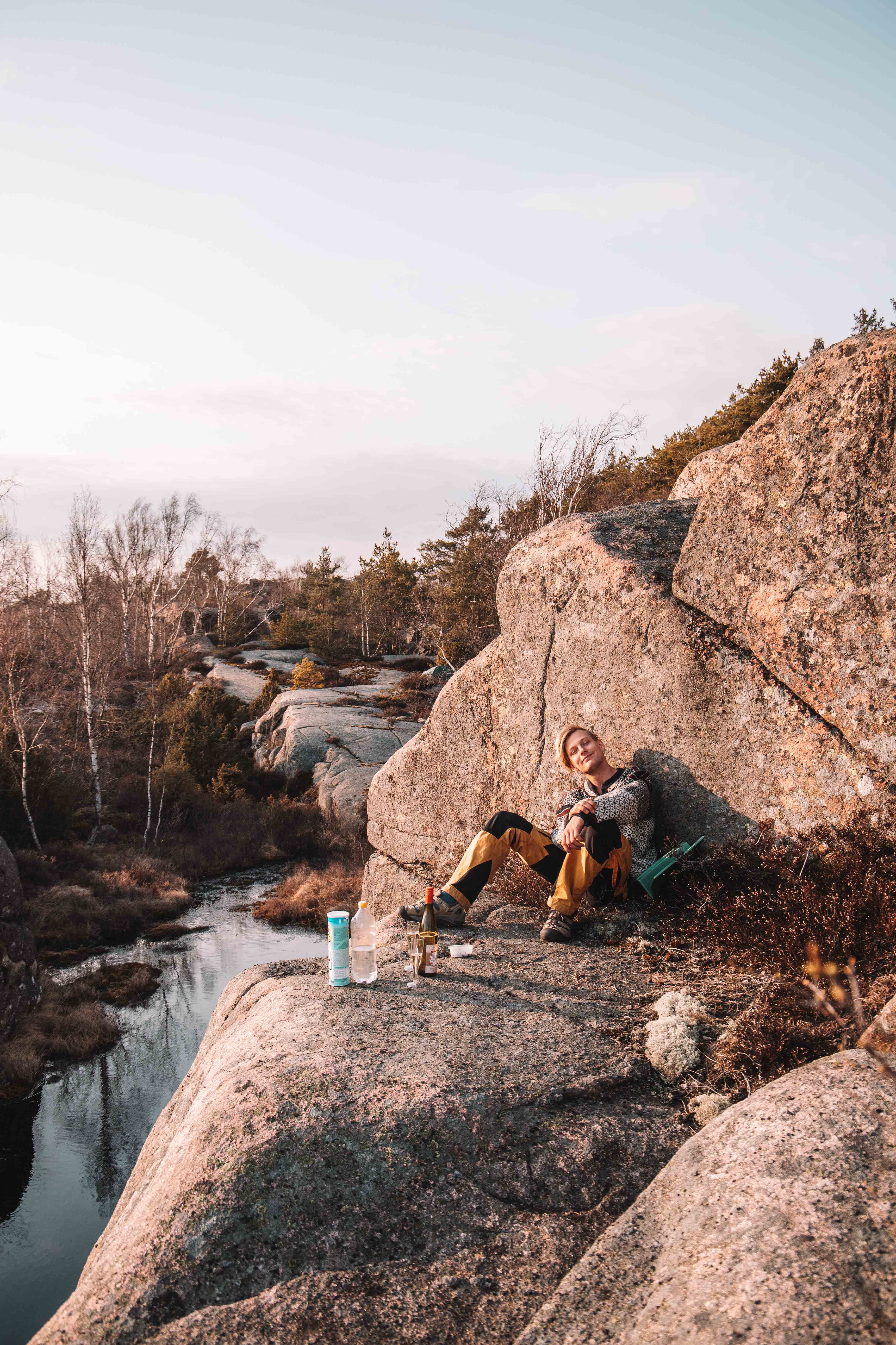
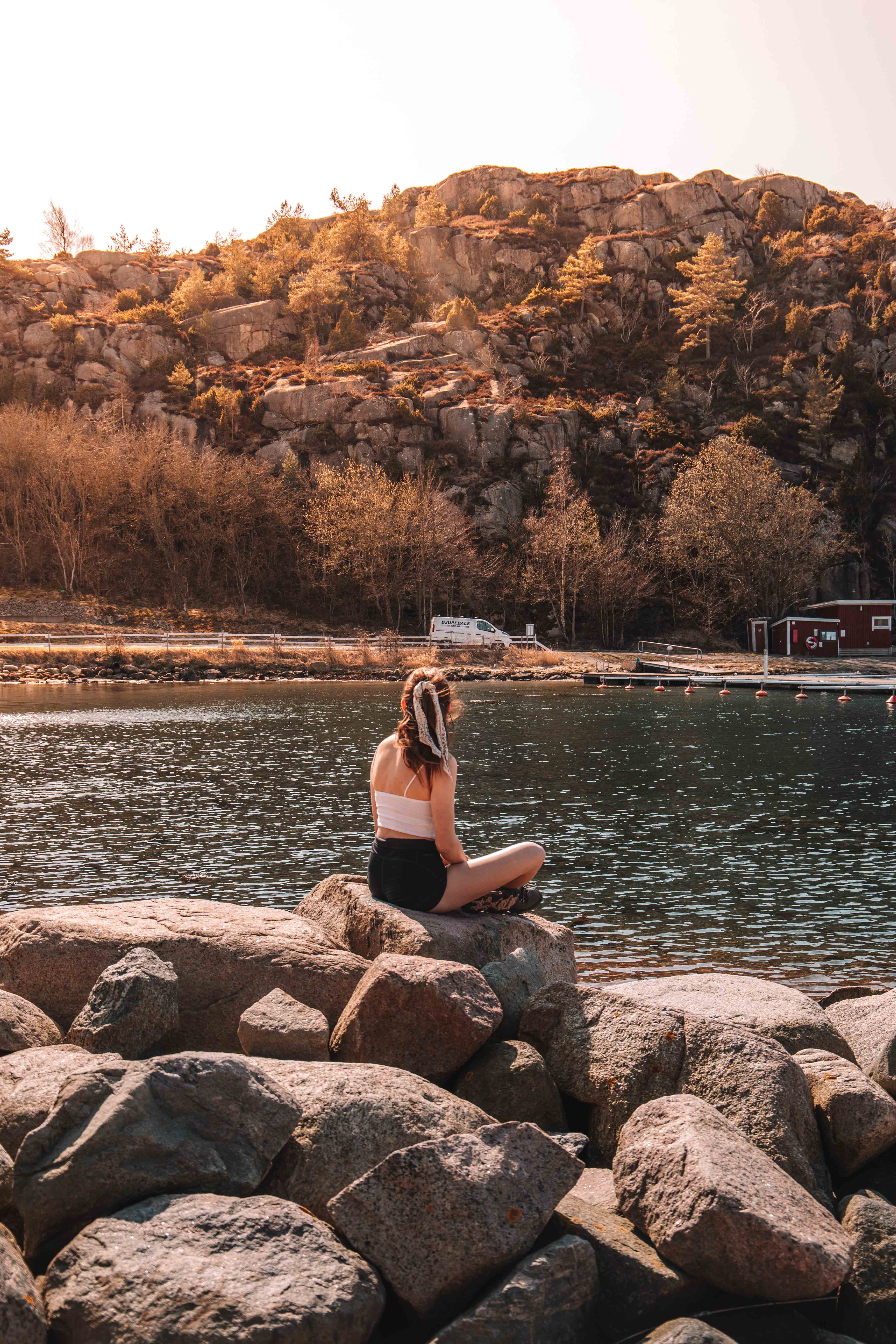
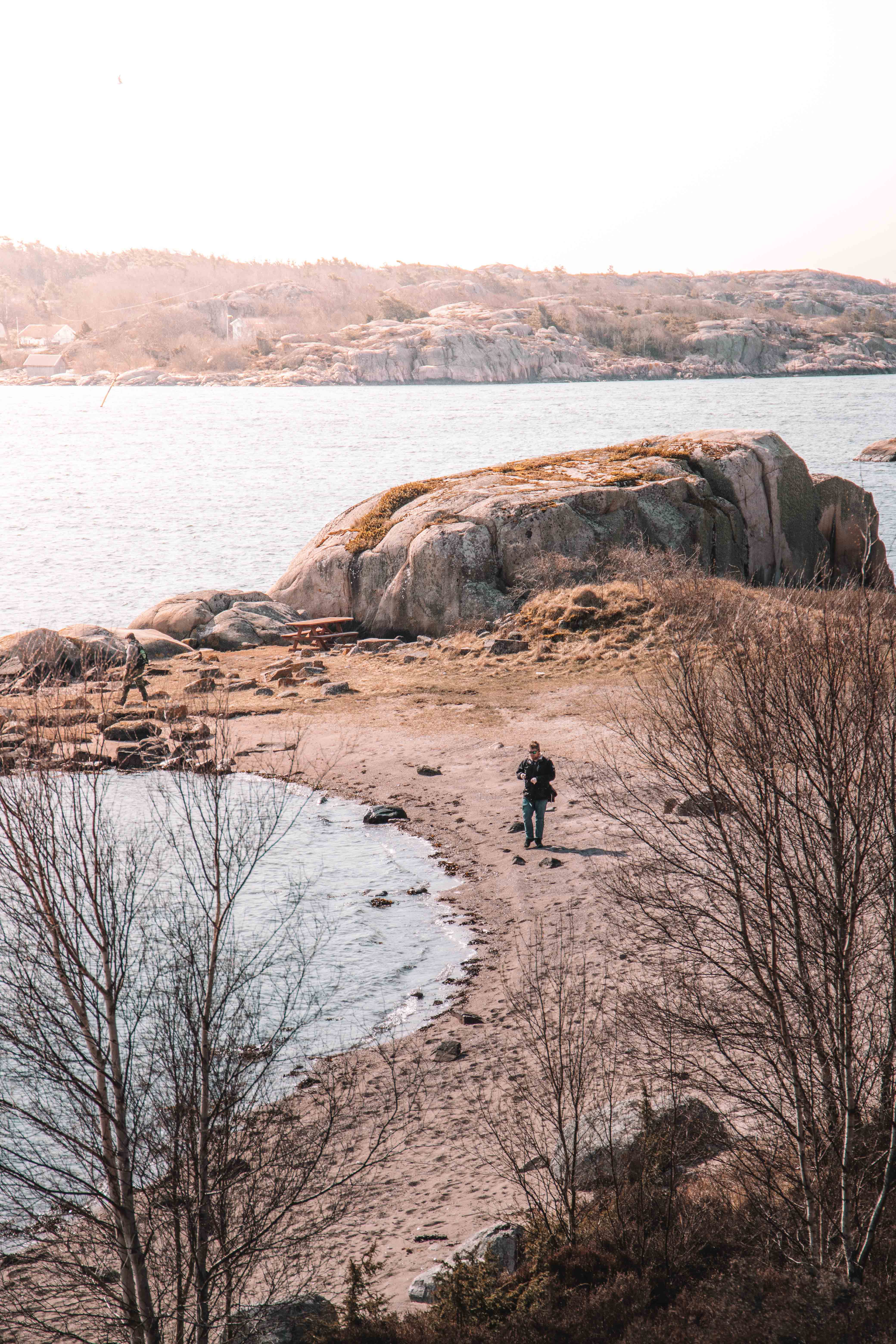
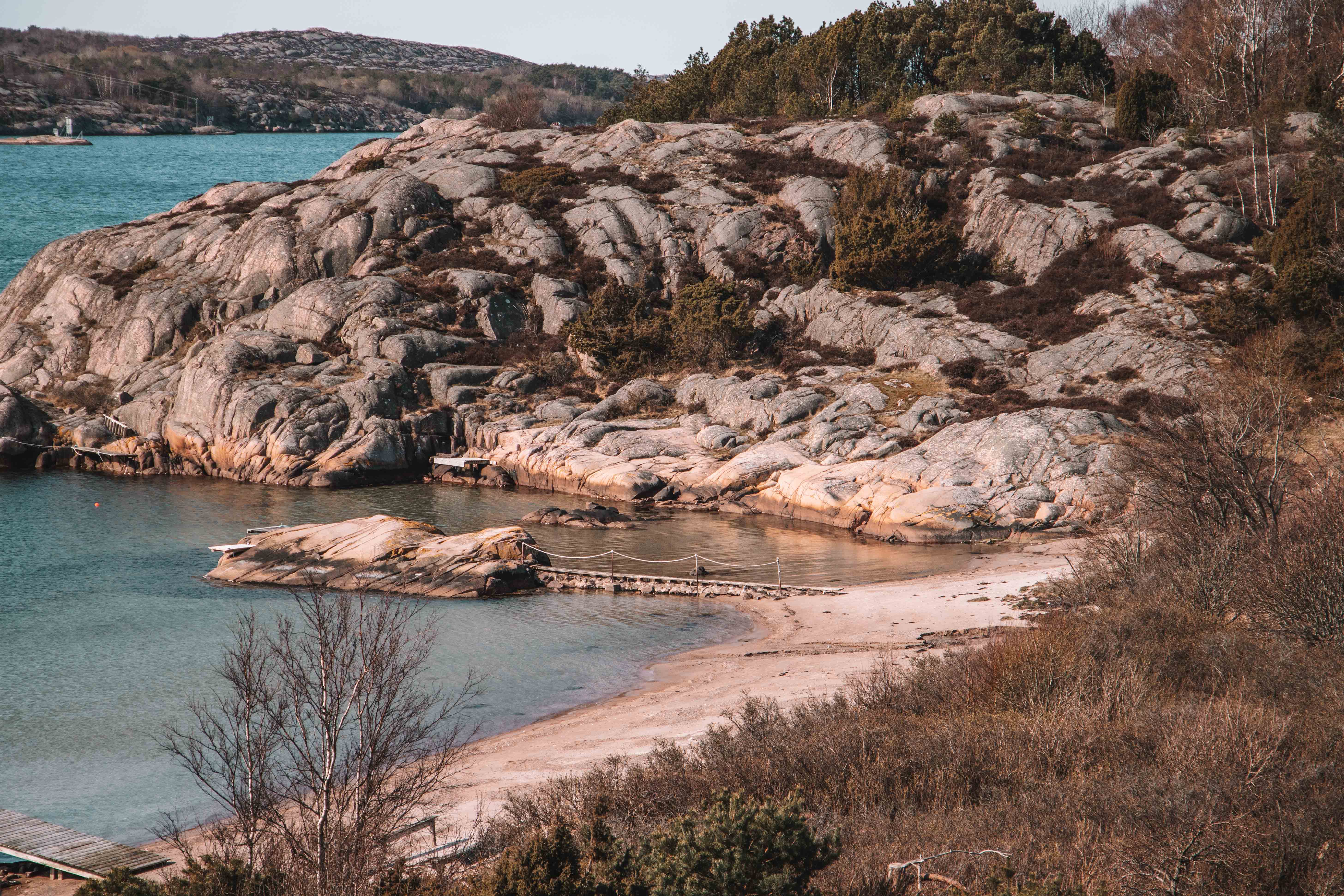
The next part of the Kustigen heads through the national park to the small village of Boa. Here is one of the most beautiful beaches I have seen on the West Coast of Sweden. We stopped here for breakfast and lay in the sun before preparing for the next section of the hike.
Soon after Boa you head through big meadows, along the coast to Tullboden. There is not much in this small town apart from the ferry to Malmön. As I mentioned before, this is where you can extend the trail and do the 12km hike on Malmön if you want.
Etapp 7
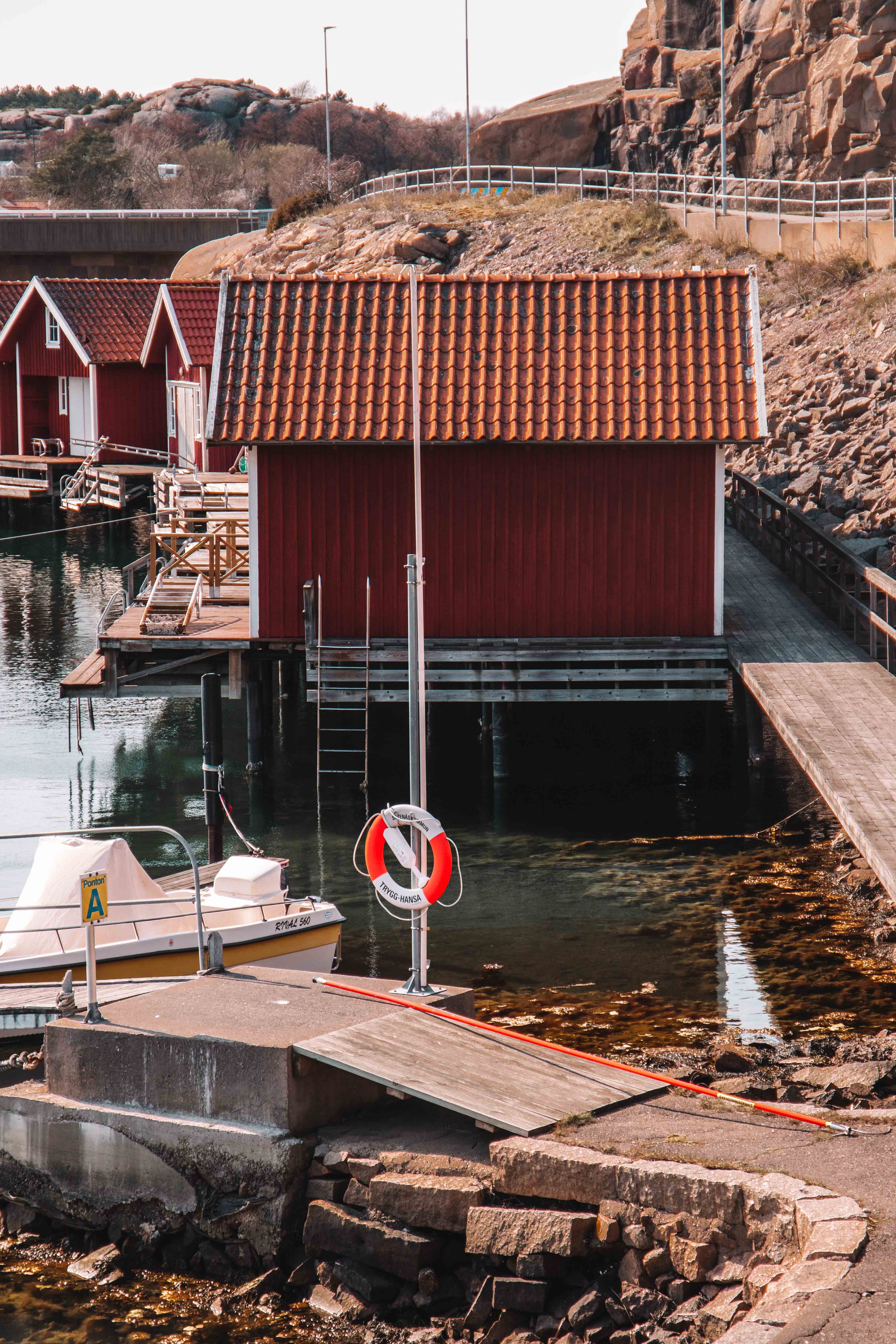
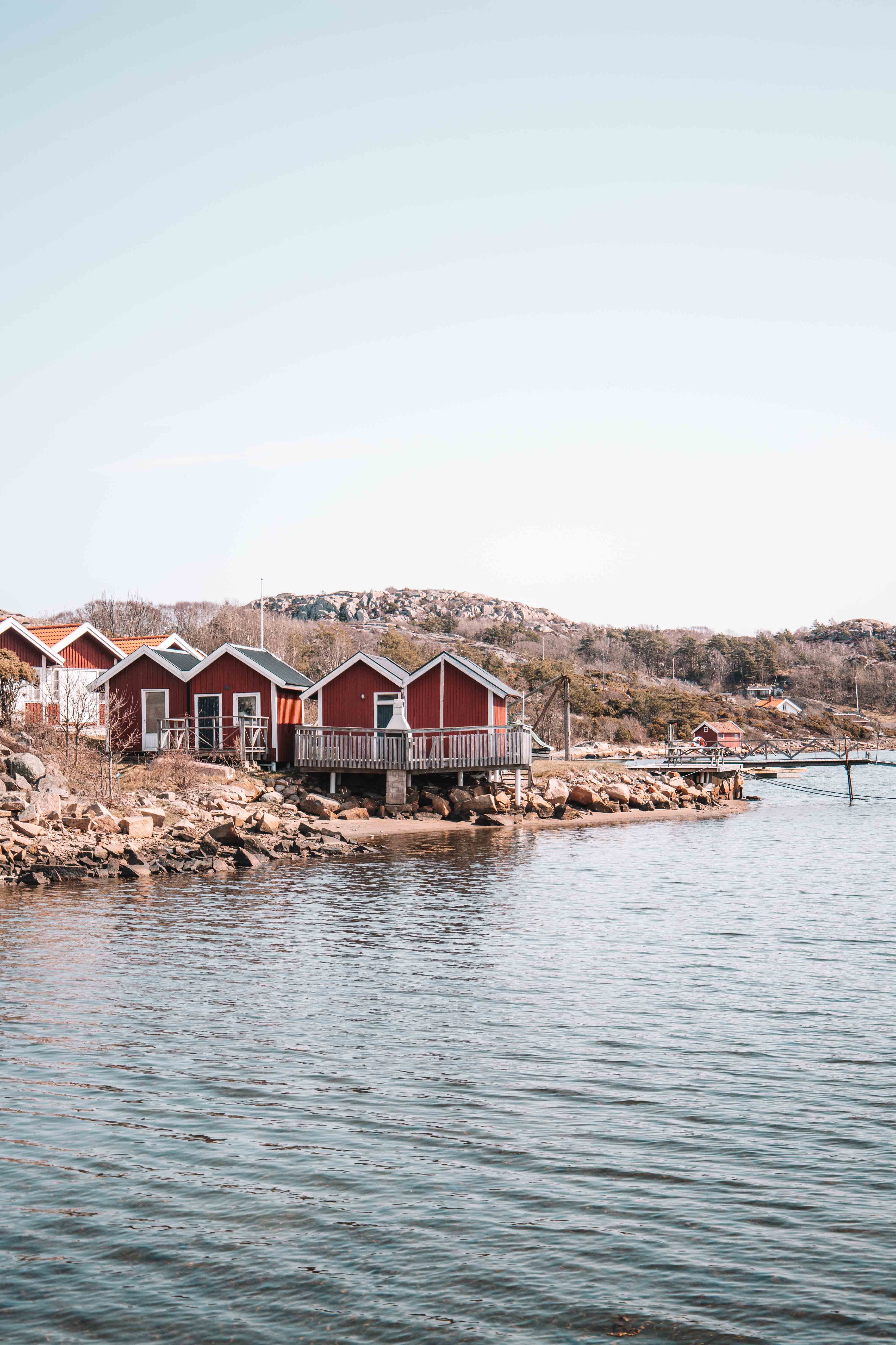
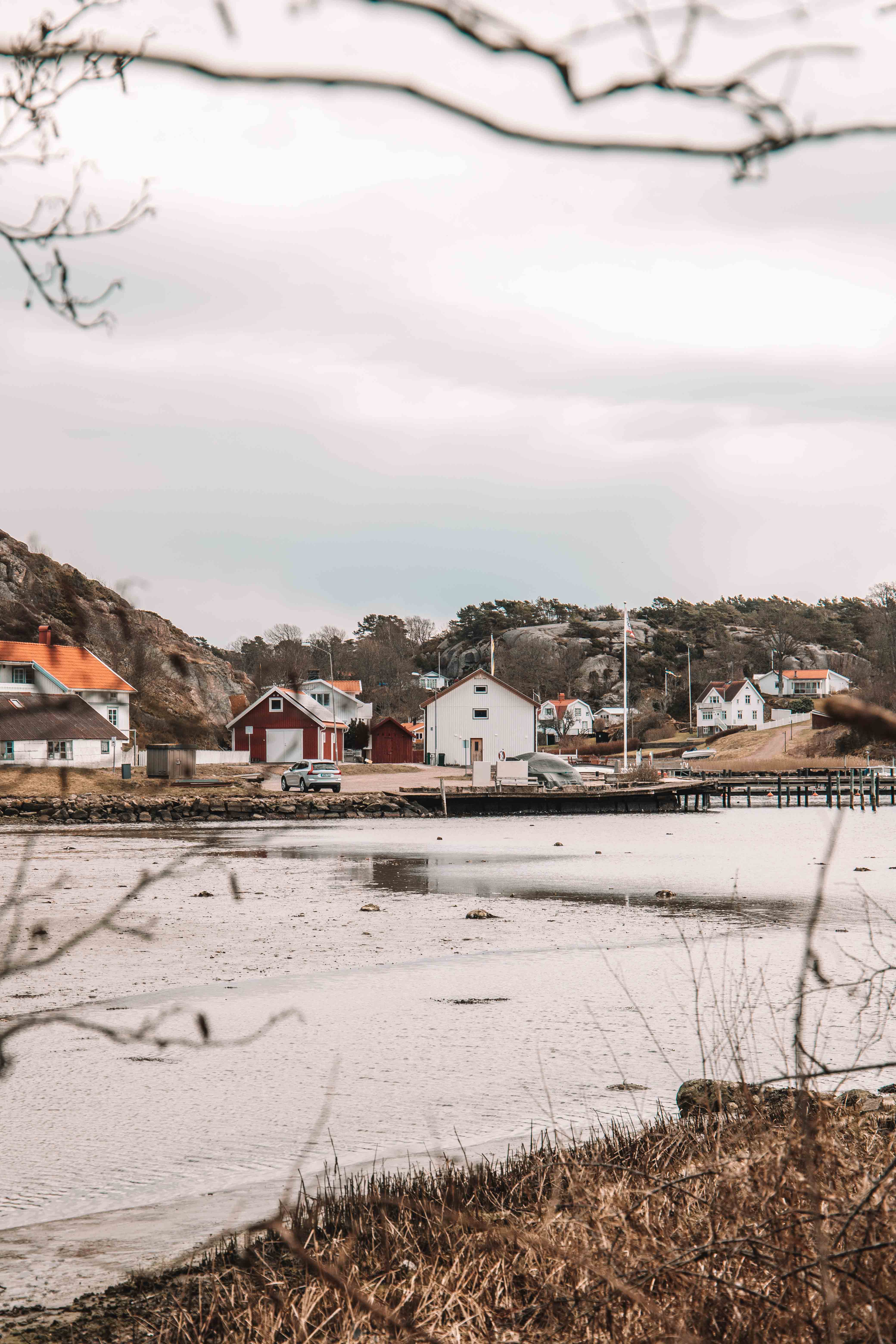
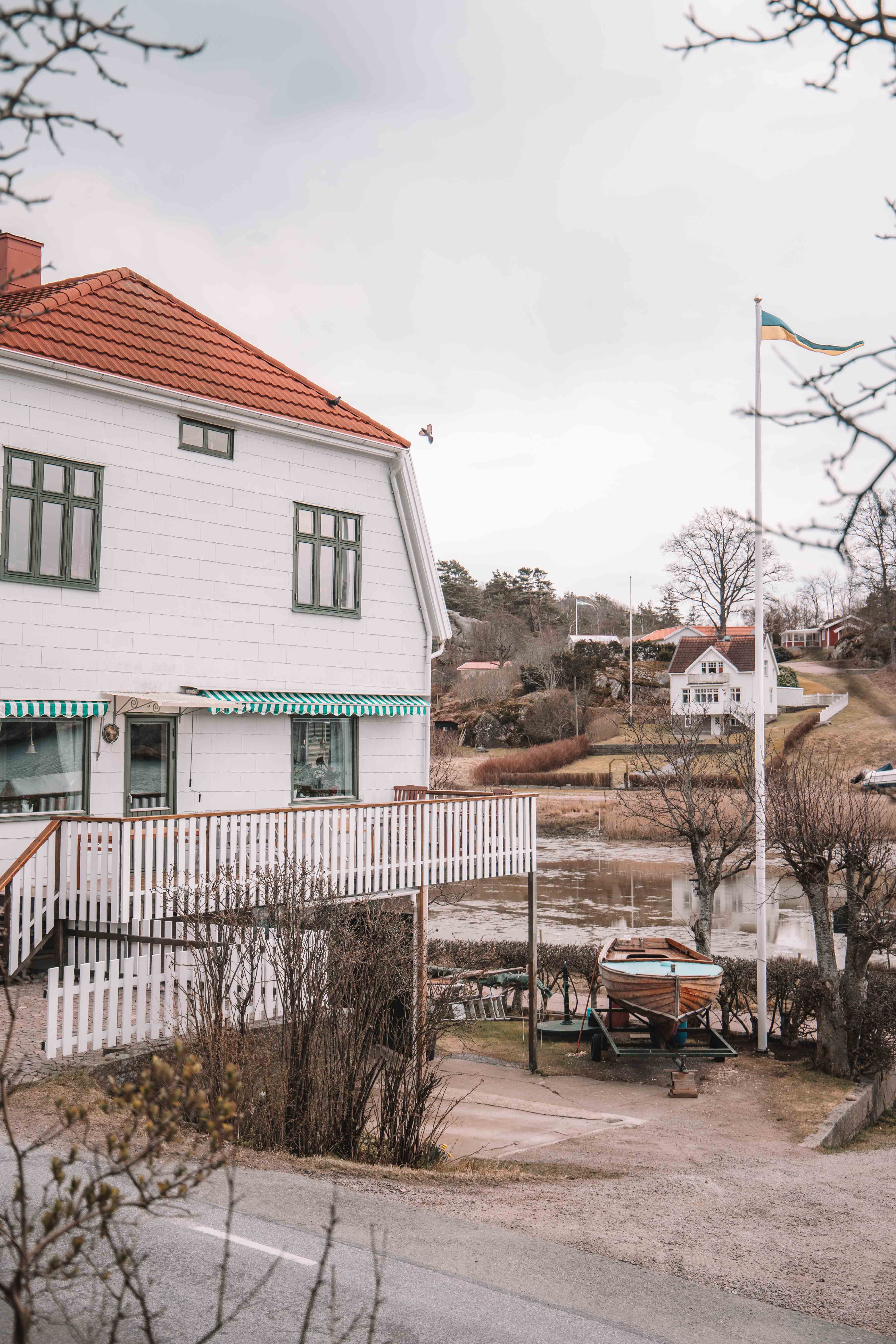
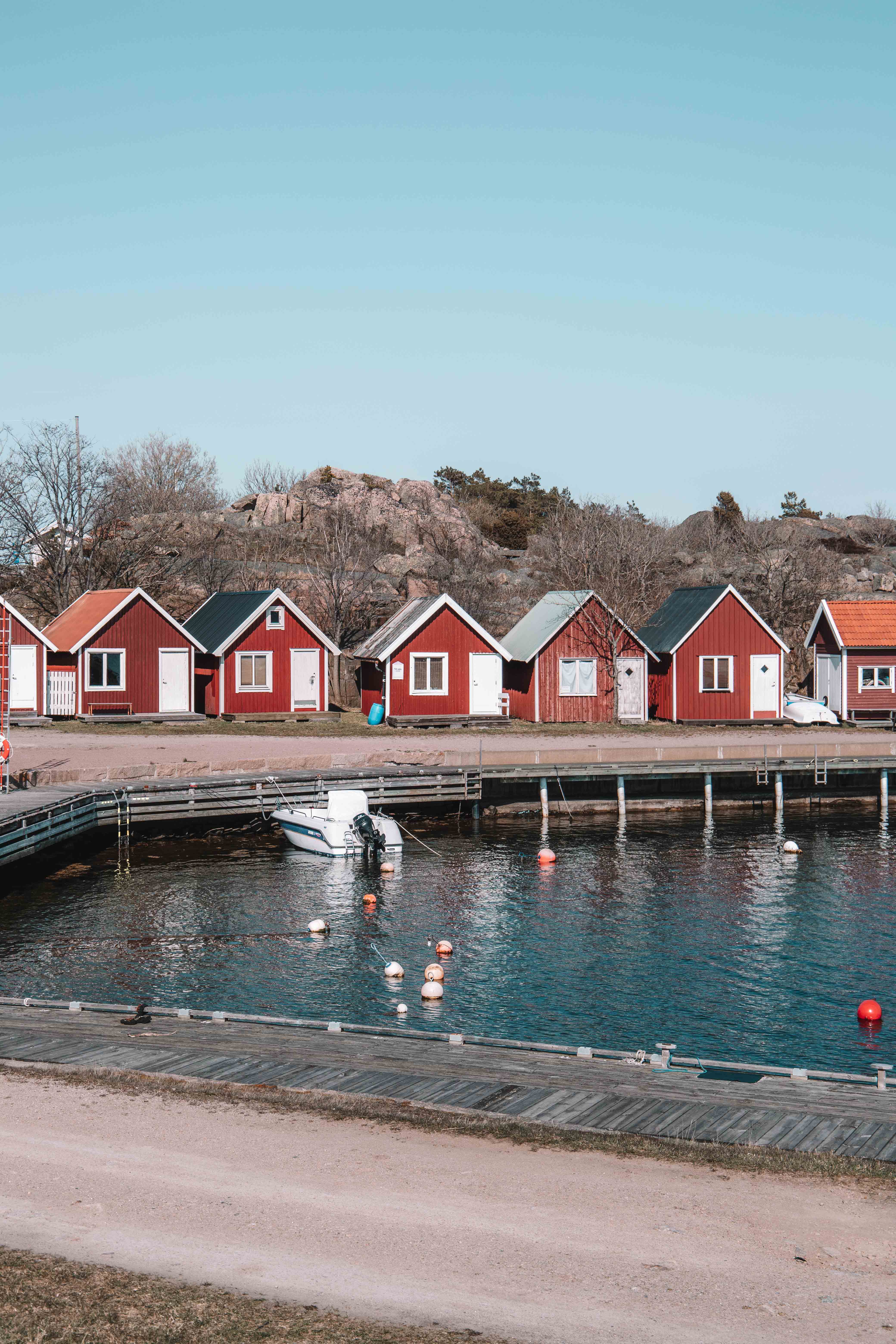
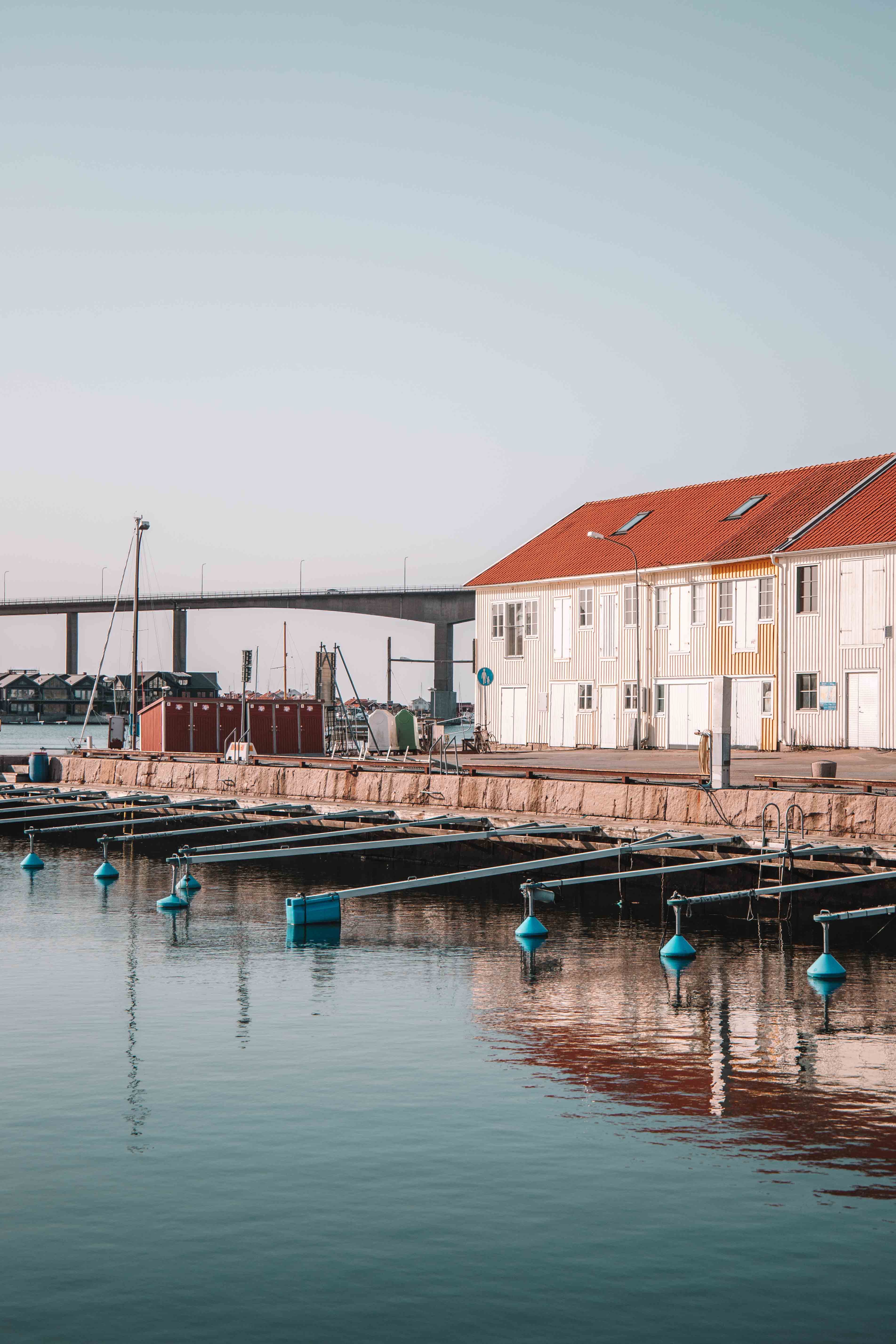
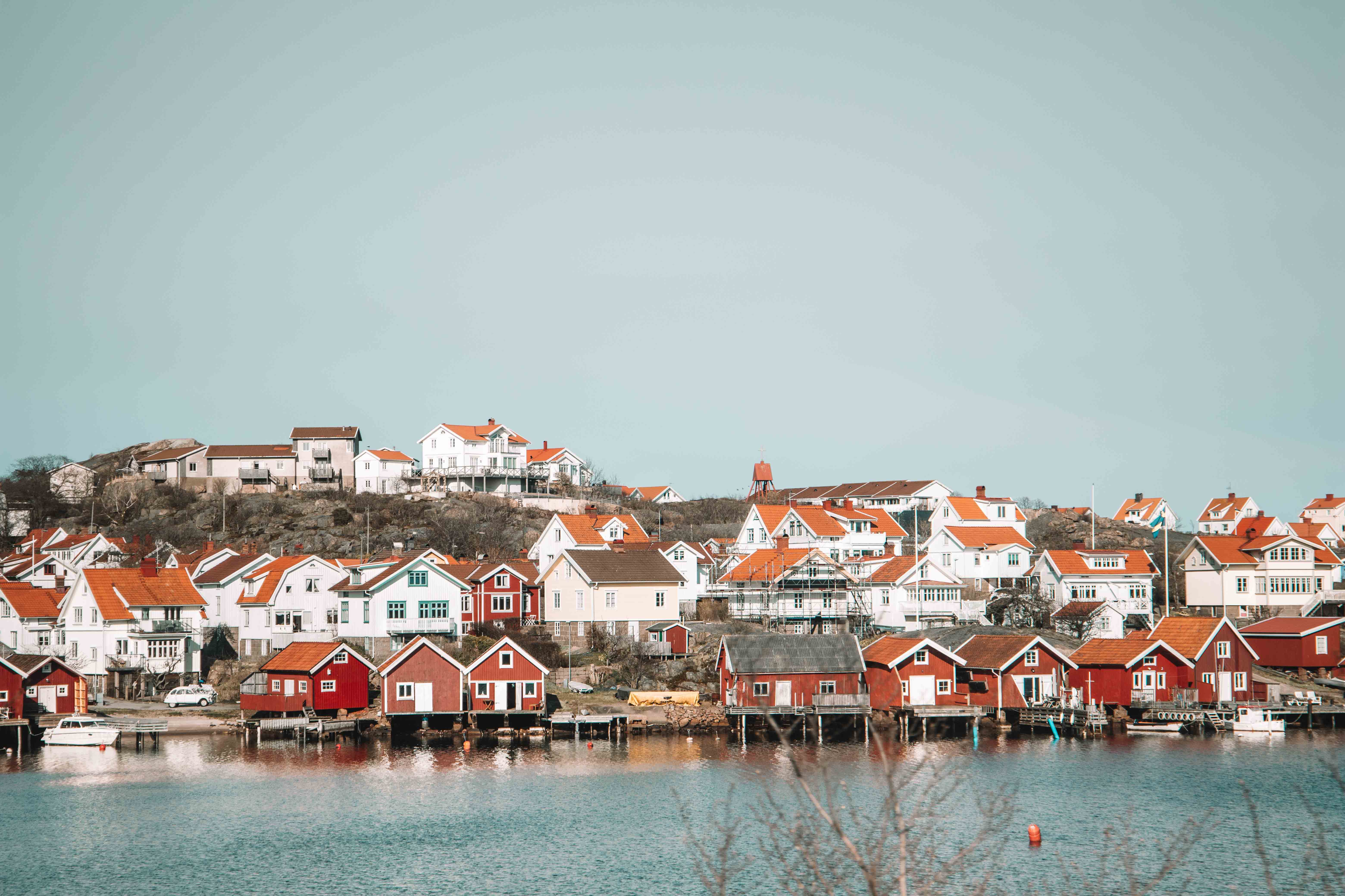
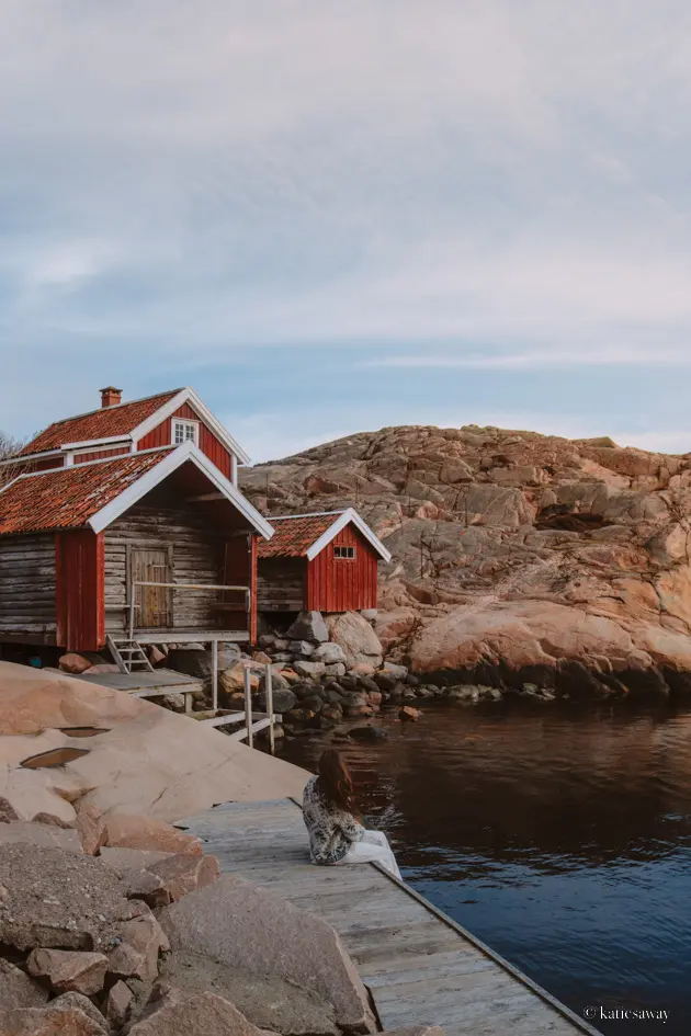
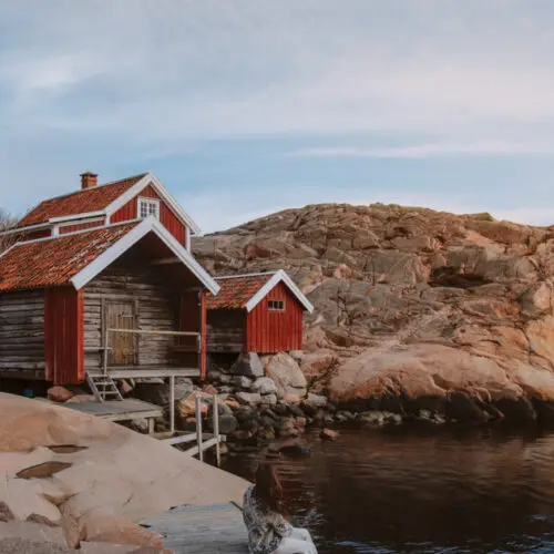
The hike then winds back around the coast up to Örn and meets the other section of the trail again. Following the big meadow by the river you then leave the trail again and work your way around to Hovenäset. This is my favourite fishing village on Sweden’s West Coast, with beautiful little boat houses by the water. There is an unusual bridge that you cross, that towers over the water giving the village a film like vibe.
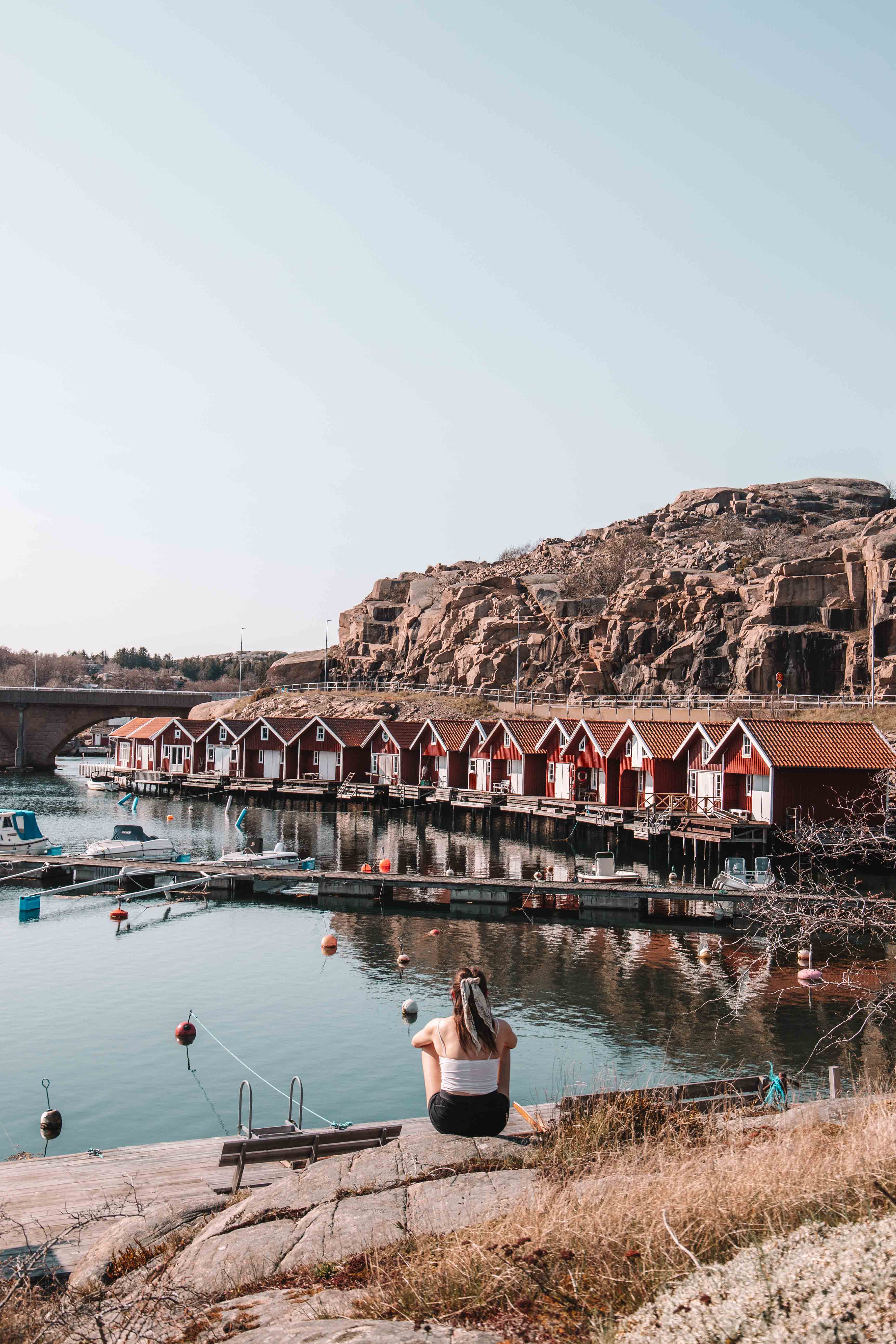

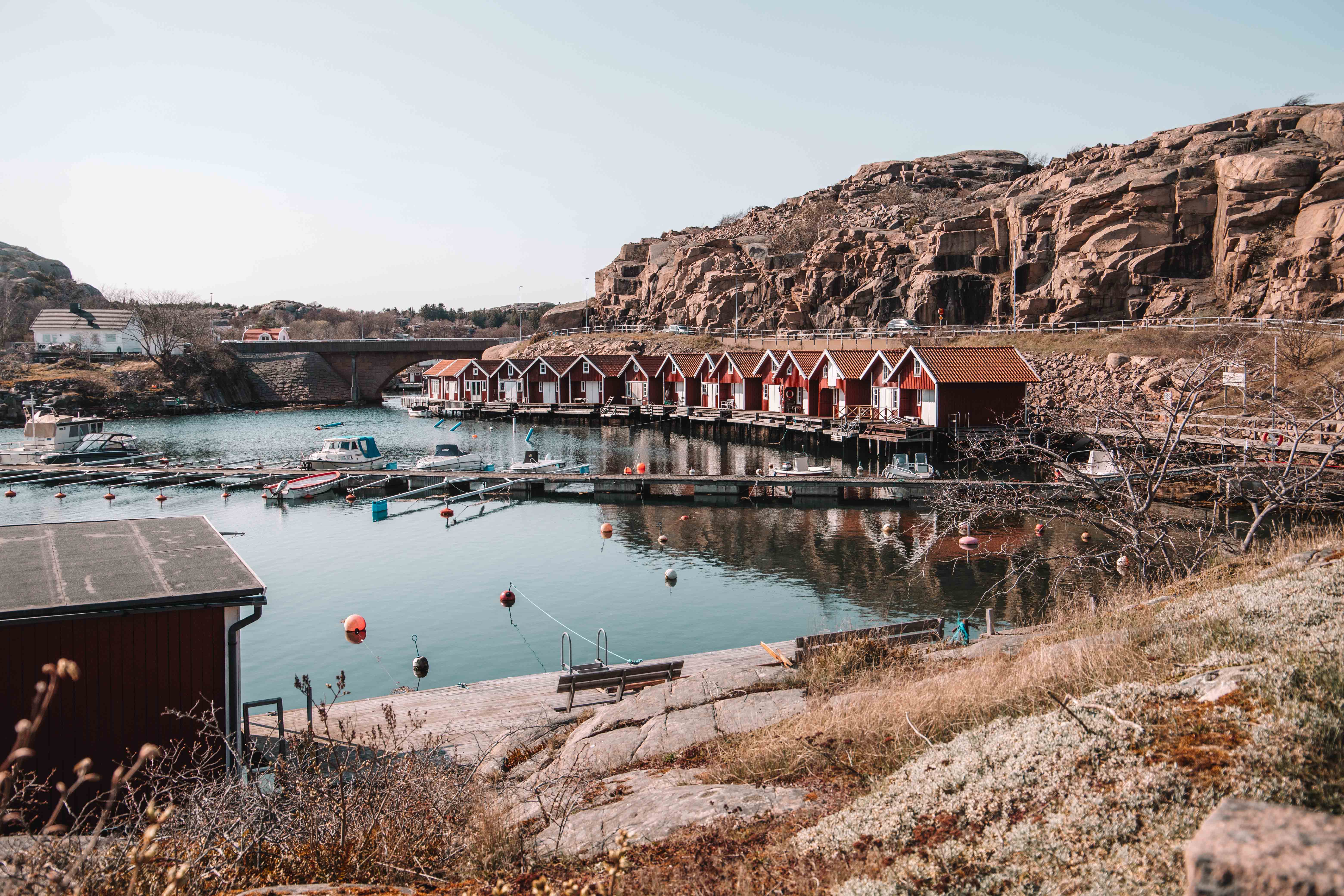
Following Hovenäset you continue up the canal towards Väjern. Be careful to follow the correct signs here for the Soteleden to ensure you make the right turn to Kungshamn instead of following the trail right back to Väjern. This section of the hiking trail runs through the same rocky, foresty west coast landscape until you arrive in Kungshamn.
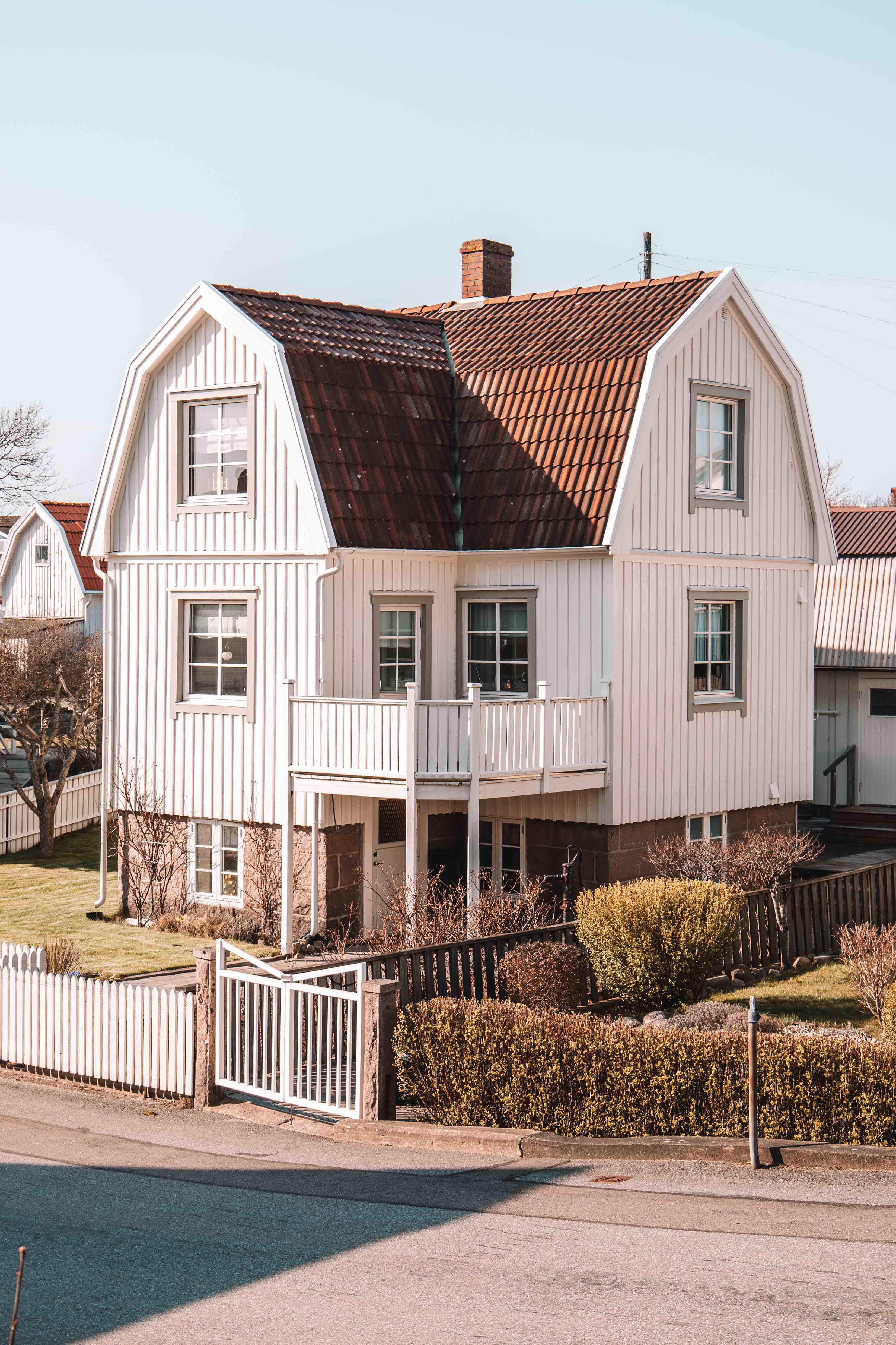
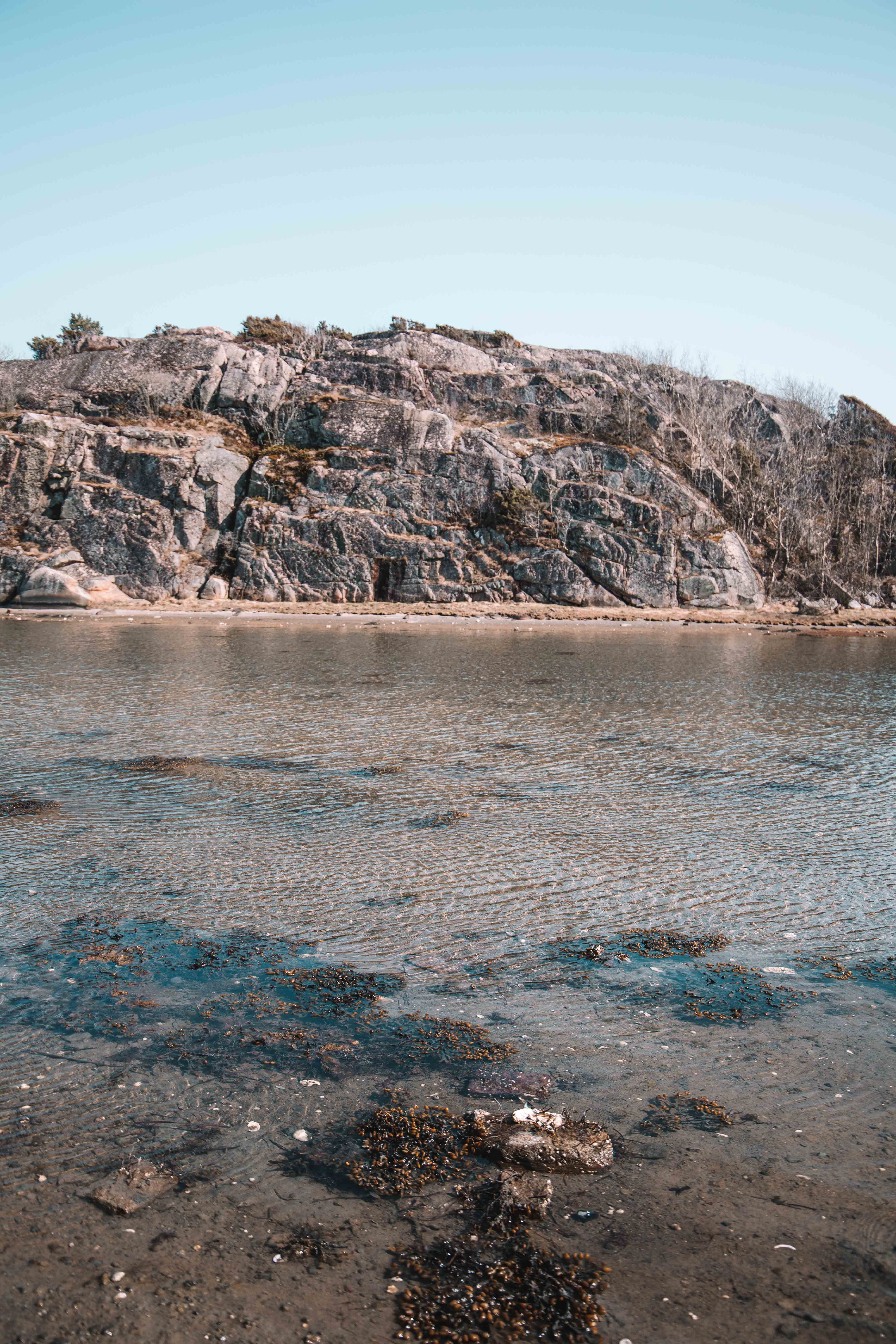
From Kungshamn you can either walk back up to Väjern or wait for the bus. You could also extend your trip with a day exploring the island of Smögen. This is one of Sweden’s most popular west coast islands, especially in the summer time! You can also continue around Sotenäs and complete a few of the other hikes along the Soteleden.
Save this post to Pinterest!



Wow! This area looks so dreamy to hike in. I definitely need to make my way to Sweden once borders open. Your photos are once again so beautiful Katie! 🙂
Yes I really think you’d love it here Taylor! Especially out on the West Coast islands!
Such a beautiful are. I’ve been to this area years ago, but didn’t get the chance to hike back then, so need to return.
Yes you should definitely return! Where were you when you visited?
All of these views are so gorgeous! I really like the views from Etapp 7.
Ah yes that was my favourite part! This has definitely been one of my favourite hikes in Sweden!